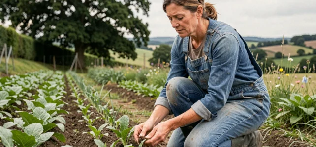
Law No. 2025-268 of March 24, 2025, amended Article L1 of the Rural Code to include the preservation of hedges, permanent meadows, and carbon storage as agricultural policy orientations. This change in the regulatory framework requires a rethinking of how production systems interact with landscape structures, well beyond simple agri-environmental measures.
Legal status of hedges and permanent meadows: what the Rural Code changes
Since March 26, 2025, hedges are no longer solely a biodiversity or landscape argument. The Rural Code explicitly recognizes their role in carbon storage, combating erosion, and water infiltration. The stated goal is to increase the net linear length of hedges by 2030, and then by 2048.
This increase in regulatory scope changes the game for farms. Uncompensated removal now exposes one to a concrete legal risk, where it previously only resulted in a loss of CAP conditionality.
Permanent meadows receive the same treatment. The text links them to biodiversity and carbon storage, making them a recognized component of harmony between agricultural production and landscapes. For operators engaged in an agriculture and landscape approach, this evolution provides a solid legal foundation to justify the maintenance of non-tilled areas.
We observe that this inclusion in the Rural Code goes beyond a simple political signal. It progressively conditions access to aid and directs local urban planning documents towards the effective protection of these elements.
Protected agricultural zones and urban planning documents: locking in land
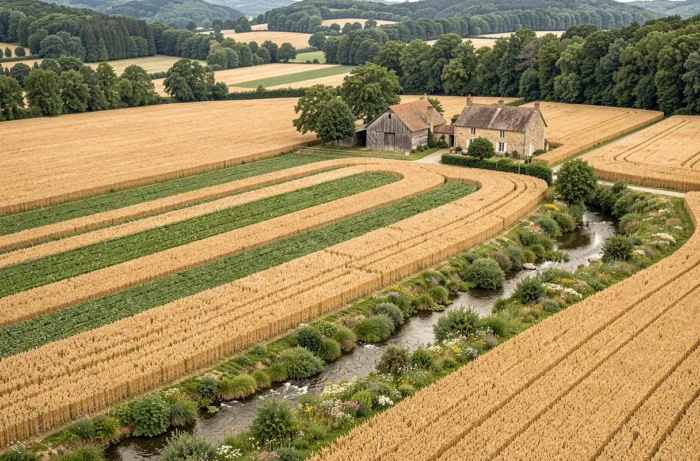
The preservation of agricultural landscapes largely takes place in local urban plans (PLU) and intercommunal urban plans (PLUi). Protected Agricultural Zones (ZAP) are an underutilized tool that allows for the sanctification of land against peri-urban land pressure.
A ZAP does not freeze agricultural activity; it protects its spatial continuity. This distinction is fundamental. The tool prevents fragmentation and gradual artificialization that disrupt landscape patterns, without imposing a production model.
In peri-urban areas, the competition between agricultural use and urban expansion remains the primary factor in landscape degradation. Urban planning tools (ZAP, PAEN, protection perimeters for peri-urban natural and agricultural spaces) allow for addressing this issue upstream, before real estate pressure makes any reconciliation impossible.
We recommend that operators actively participate in the consultation phases during the revision of local urban plans. The designation of a plot as a protected agricultural zone is decided at this stage, and the absence of farmers in these processes often explains the decline of cultivated land in urban fringes.
Agroecological infrastructure: designing the landscape as a production tool
Agroecology treats the landscape not as a decor to preserve but as a functional infrastructure. Hedges, grassy strips, ponds, groves, and permanent meadows form a network that provides measurable agronomic services.
The key functions of this infrastructure include:
- Water regulation: hedges perpendicular to the slope slow down runoff and promote infiltration, reducing the risk of erosion on downstream plots
- Cultural auxiliaries: semi-natural borders host populations of predators (ground beetles, hoverflies, parasitoids) that limit pest pressure without chemical intervention
- Microclimate: a dense hedgerow network mitigates wind effects on crops and reduces evapotranspiration during dry periods
- Ecological corridors: connectivity between landscape elements maintains the genetic diversity of auxiliary and pollinator populations
A structured agricultural landscape with semi-natural elements performs better than a bare plot. Data from the Agricultural Biodiversity Observatory shows that the number of occupied wild bee nests nearly doubles in organic crops compared to conventional crops. Landscape diversity, measured by the presence of hedges and borders, directly influences the abundance of butterflies and soil invertebrates.
Integrating agricultural buildings into the landscape framework
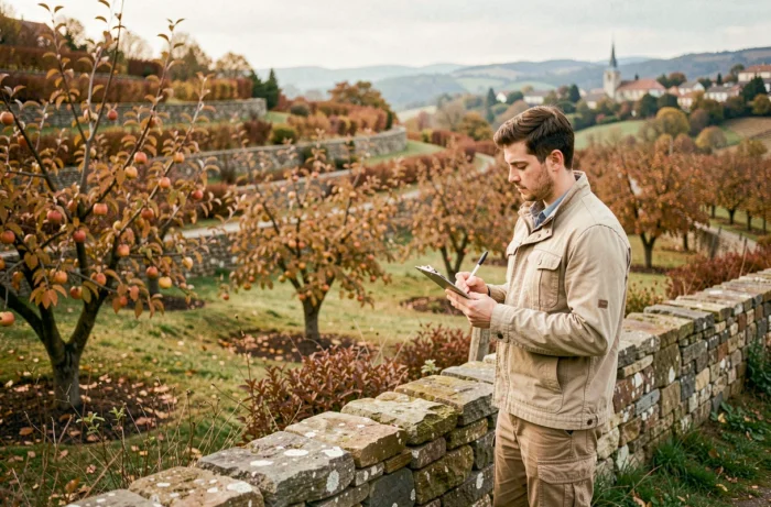
Landscape integration is not limited to cultivated plots. In agricultural zones, the construction of new farm buildings is generally prohibited, except by exemption. The CAUE of Bouches-du-Rhône identifies three scales of analysis for any project: the large landscape (distant perception), the intermediate landscape (immediate surroundings), and the plot itself.
The choice of materials, colors, and topographical placement determines whether a building fits into the landscape or degrades it. Accompanying plantings (hedges, rows of trees) can visually absorb large volumes without resorting to costly artifices.
Low-carbon label and economic valuation of agricultural landscapes
The low-carbon label offers a financing mechanism for practices that combine sustainable production and landscape preservation. Planting hedges, maintaining permanent meadows, and reducing soil tillage generate certified and tradable carbon credits.
This system transforms an apparent cost (maintenance of hedges, loss of arable land) into a source of supplementary income. For large-scale farms, the low-carbon label makes the maintenance of landscape elements economically viable that would otherwise be removed under profitability pressure.
The Grand Est region, for example, offers aid covering up to 90% of the costs of agroecological projects, significantly lowering the entry barrier for operators wishing to restructure their plots.
The articulation between a strengthened regulatory framework, available urban planning tools, and economic mechanisms like the low-carbon label outlines a coherent system. Farms that anticipate these developments secure both their land, their functional biodiversity, and their economic model.